
The tropical intraseasonal oscillation

The Madden-Julian Oscillation (MJO) can be described as a colossal region in the Indo-Pacific warm pool in which thunderstorm activity has dramatically increased or decreased. This anomalous region can be several thousand kilometers across, and usually propagates eastward at a speed of around 5 m/s . These rainy or dry periods are often referred to as MJO active or suppressed phases, respectively, and often occur one after another, hence the name oscillation. The name Madden-Julian Oscillation comes from Roland Madden and Paul Julian, who discovered the MJO in 1971 using the station and sounding (weather balloon) data available during the period.
Basic Structure
The basic features of the MJO can be understood in terms of interactions between deep convection (thunderstorms), water vapor and large-scale waves. Some of my work has been trying to elucidate these feature and understand their interactions.

Figure: Schematic of the three-dimensional structure of the MJO at the time it is active over the Maritime Continent (120°E). Contours correspond to the vertical structure of water vapor, shading corresponds to relative humidity and the gray plate shows the horizontal circulation near the surface. From Adames and Wallace (2015) .
Regions of enhanced water vapor over the tropics act as focal points for precipitation, that is, precipitation prefers to occur in regions of high humidity. This region of precipitation in turns creates a large scale circulation in order to maintain a balance in vorticity (rotation) and temperature (buoyancy). This large-scale circulation takes the form of equatorial Rossby and Kelvin waves (seen in the gray plate to the left), which evolve in unison with the thunderstorms. However, these circulation anomalies themselves cause the region of enhanced moisture to become displaced, which results in a propagating rain area.
Theory
The above description of the MJO from reanalysis highlights the complexity of processes across different scales—from clouds to moisture to large-scale wave dynamics—all of which must be well represented in order to accurately simulate the MJO's structure. Improved representation of cloud processes and their interaction with moisture may be crucial to our understanding of MJO dynamics, yet no existing theoretical framework for MJO dynamics incorporates all those processes.
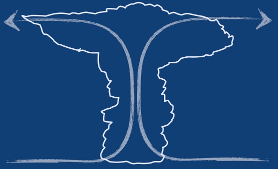
In order to improve our theoretical understanding of the MJO, I used a simplified version of the description above to create an analytical framework of the MJO that could describe its essential features. This led to the derivation of a dispersion relation (a mathematical solution that describes the properties of waves) that has a form as shown to the right. This solution describes the MJO as a transient wave with an eastward phase speed and a westward group velocity.

Animation: MJO baroclinic signature (shaded) and batropic wave response (contours).
Tropical-Extratropical Teleconnections
The MJO modulates tropical precipitation and is directly associated with flooding events over the Indo-Pacific warm pool. Through its dynamic signature, the MJO affects the Earth's angular momentum as well as extratropical weather.
The modulation of extratropical weather over certain regions is linked to specific phases of the MJO. The animation to the right shows the upper tropospheric strucutre of the MJO (shaded) and its related extratropical wave train (contoured). The reason why extratropical wavetrains appear only during certain phases of the MJO has to do with variations in the jet stream. In regions where the jet stream is weakening, the MJO able to tap onto the jet's energy and drive weather patterns at higher latitudes. This interaction is the main driver of enhanced activity over higher latitudes.