A Stunning Two Days

For experienced backpackers visiting Zion, the Narrows makes for a very nice one-night backpack trip. Breaking up the 16-mile hike into two shorter sections allows you lots of time to bask in the grandeur of this incredible place. You'll have time for photographs, swimming, side-canyon exploration, and you won't have to leave camp at 5:30 AM to catch the Chamberlains shuttle!
Through-hiking is most enjoyable with a light pack. Since you shouldn't hike The Narrows with rain in the forecast, you don't really need a tent, right? Do you really need to cook hot food, or can you assemble fuel-free feasts? Go easy on the "extras," and you can hike nimbly and easily down the river.
Overnight permits can be hard to get on holiday and summer weekends, so learn the permit procdures and act early. You must arrange a car spot or shuttle reservations for the trailhead at Chamberlains Ranch.

hike Profile
Logistics

RATINGS
Non-technical, strenuous day hike

DISTANCE/TIME REQUIRED
16 miles (25.7 km)
10 to 14 hours

SEASON
Summer, fall

ELEVATION GAIN
-200 feet (-60 m)

SHADE
Most of the hike is in partial shade because of steep canyon walls.

PERMIT
YES, with choices of campsite size
Equipment

ESSENTIALS
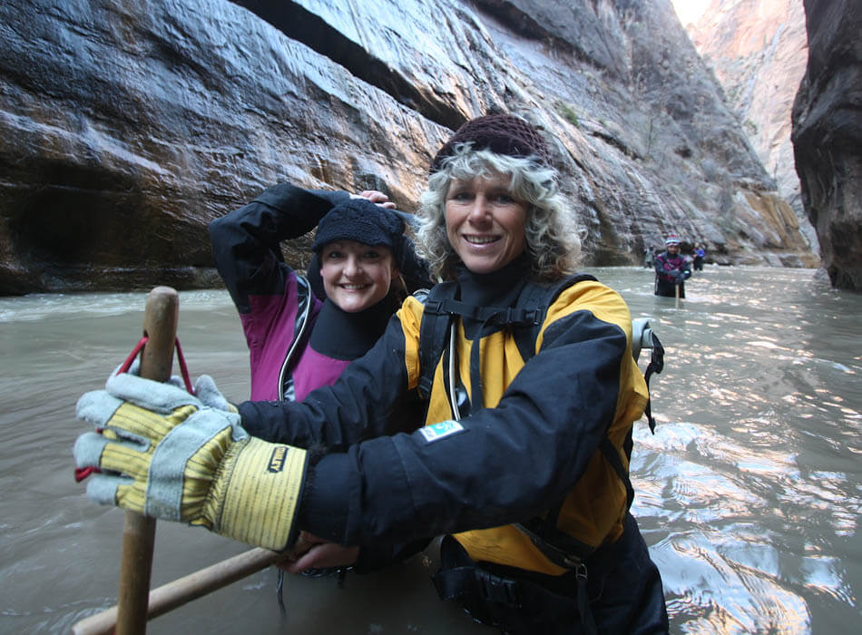
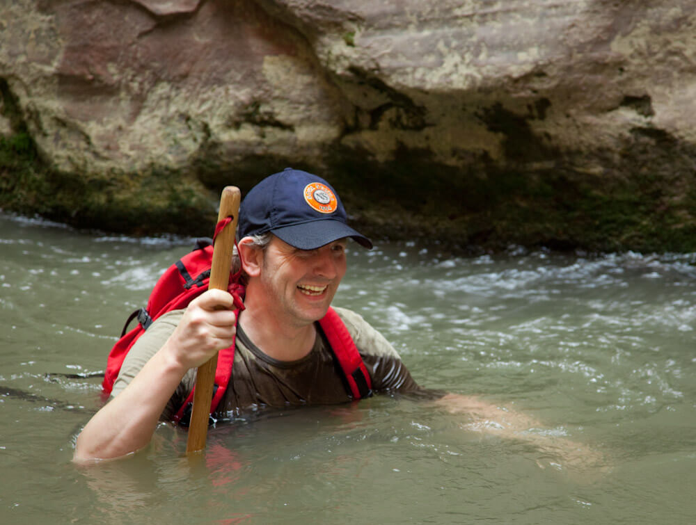
Sturdy water hiking shoes, ample water, purifying tablets or pump, backpacking gear, and drybags to keep gear dry

DRINKING WATER
Water is available to purify.

FLASH FLOOD RISK
High - Pay close attention to weather report and current conditions.

ACCESS
Requires a car spot or shuttle.
Difficulties

CONSIDERATIONS
Make sure the slowest member of your group is strong hiker with good endurance. Hiking in The Narrows after dark is 3x as difficult as in daylight. A slow pace or an injury can easily force a cold and hungry unplanned overnight stay.
Seasonal Adjustments
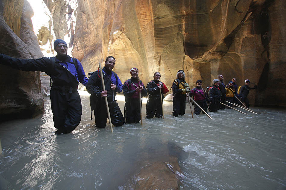
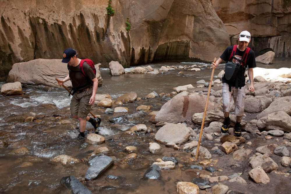
Spring: Expect higher and colder water flowing due to springtime runoff. Crossings may be deeper. If runoff is too high, do not continue down canyon, narrow sections are dangerous and difficult at high water flow. Neoprene socks and wetsuits may be appropriate or necessary.
Summer: The open sections can be really hot, so plan accordingly. Fortunately, you are close to water for most of the hike, and there are often shady canyon walls you can hide beneath.If possible, plan your exit climb for early/late in the day, when the sun is lower.
Fall: This is the BEST time to hike this route, with great fall photography along the creek bed.
Winter: Possible snowpack and ice along the waterfalls. Not recommended in winter. Use caution and check current conditions at the Zion Wilderness Desk.

Getting there
Getting to the Start
The start is Chamberlain's Ranch – a small ranch on the North Fork of the Virgin River managed by the Chamberlain family, where they still run a few cows during the summer. It is about an hour and a half drive from Springdale to Chamberlain's, on a dirt road that is often heavily wash-boarded. Folks in passenger cars unused to driving dirt roads will find this challenging, and might take quite a bit longer to drive this stretch. The dirt road crosses clay soils and is impassible after rain or snow – even for 4WD vehicles. Paid shuttles to Chamberlain Ranch are available through outfitters in Springdale. Remembering that it takes 3 hours to fetch the car at the end of a through hike can make the cost of a paid shuttle seem much more reasonable.
Driving Directions to Chamberlain's Ranch
From Springdale, drive north into the park, then east through the Mt. Carmel tunnel to the East Entrance of the Park. Continue on Highway 9 2.3 miles east of the East Entrance, turn left (N) on the North Fork Road. This road is initially paved but turns to dirt at the Ponderosa Ranch, at 5.4 miles. Continue on the dirt road another 11.4 miles to the only bridge crossing a river. (Total mileage from Highway 9 is 16.8 miles). Turn left at the T, then left again and follow ¼ mile to the Chamberlain Ranch main gate. Enter and close the gate. Continue down the road, then follow the posted instructions for parking.
The Hike
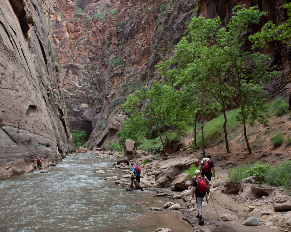
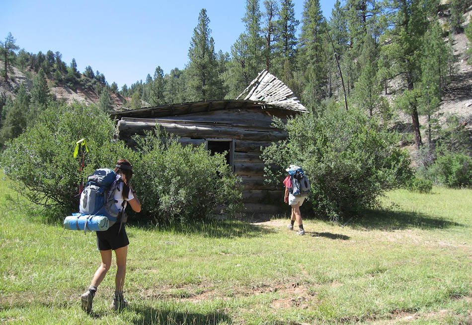
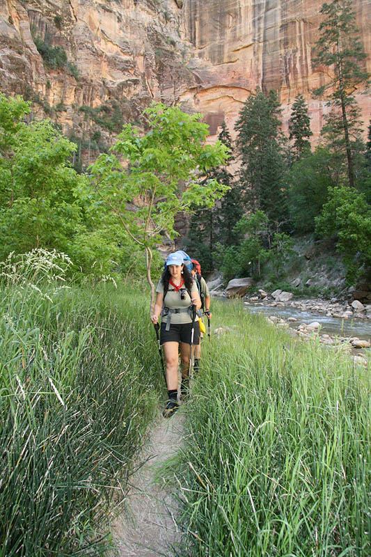
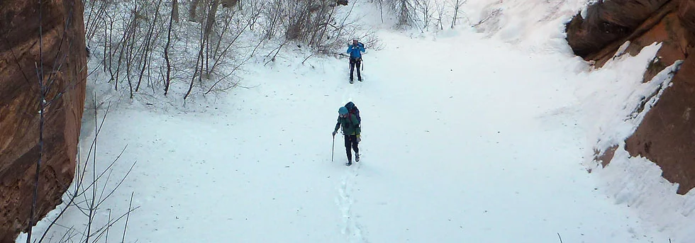
From the trailhead, follow the small dirt road across the river, and then west along the bank. The North Fork is small here, more of a stream than a river. You are a guest on the Chamberlain Ranch; please stay on the trail and don't harass the cattle. In about an hour, you pass the collapsing Bulloch Cabin, the road ends, and the canyon becomes a gorge.
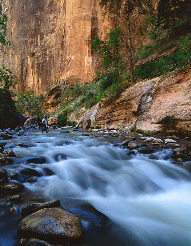
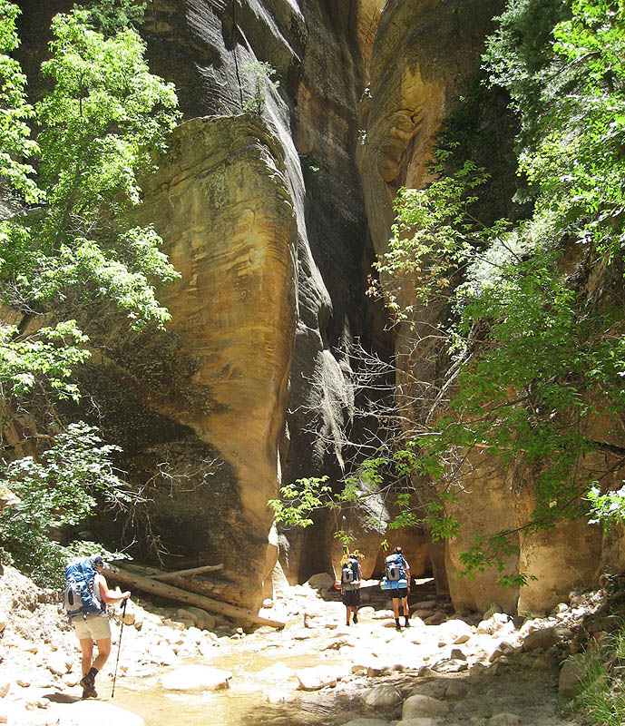
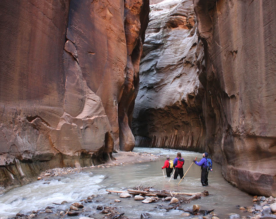
From here, you'll make the second of many stream crossings; the water is quite nippy early on a summer morning. Continue down the canyon, crossing the stream frequently, as the canyon becomes deeper and more interesting. This section can be quite hot in summer, so I recommend an early start. Another hour of hiking takes one to Simon Gulch coming in from the north, and the first real narrows section. What is a narrows, anyway? There is no formal definition, but usually any canyon with vertical rock walls at least twice as high as the canyon is wide is a "narrows." If the walls are close enough to touch both walls simultaneously (about 5 feet), then it is a "slot canyon." An hour or less past Simon Gulch, the first designated campsite appears on canyon-left. Campsites are discretely marked by carsonite posts with decaled numbers.
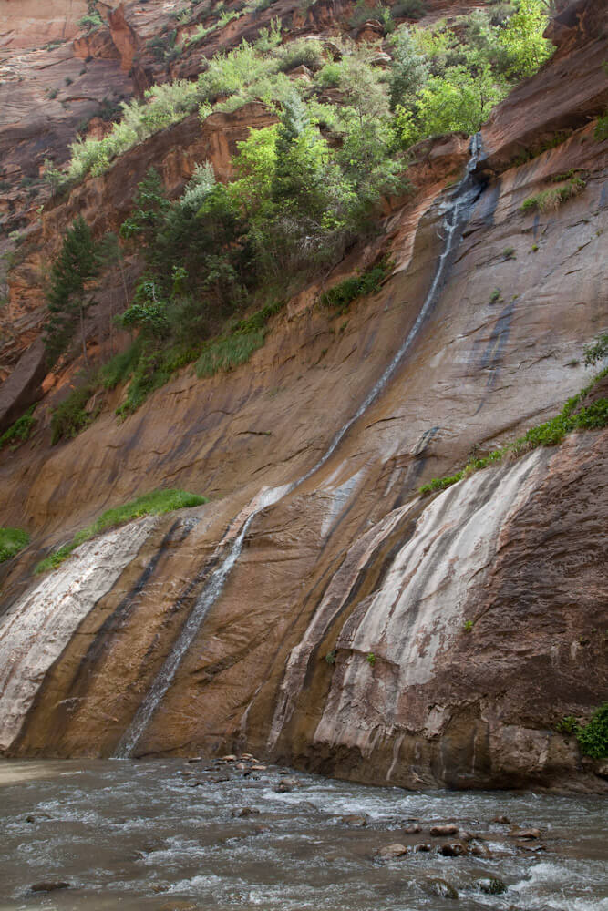
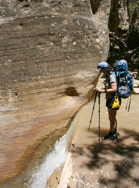
Shortly afterwards, the mighty North Fork Waterfall appears, where rocks and trees have dammed the river, creating a twelve foot (4 meter) waterfall. There is an easy slot to the left (looking down-canyon) that bypasses the waterfall. Do not be tempted to jump the waterfall – while the pool downstream from the falls is 6 feet deep, the water directly below the falls is only about a foot deep. More than one leg has been broken at this spot.
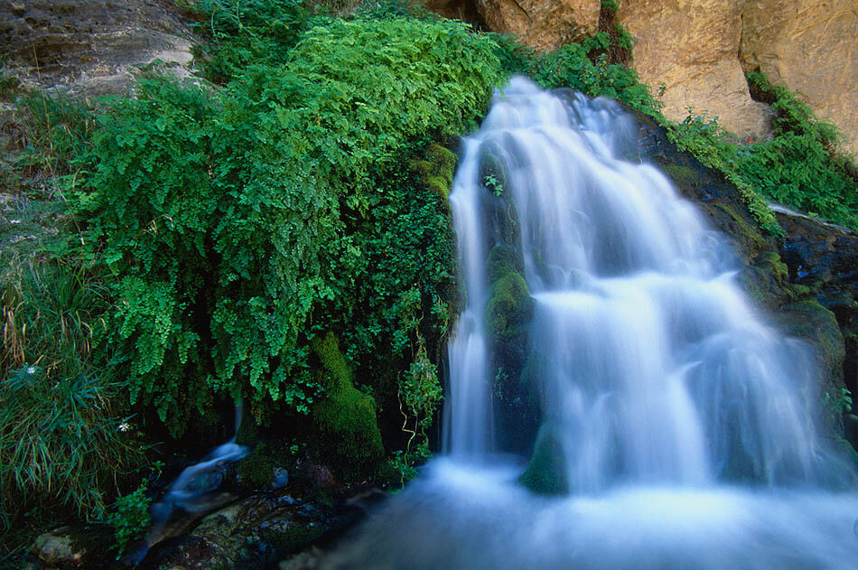
Deep Creek

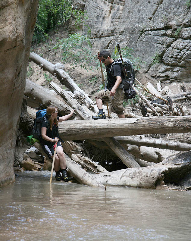
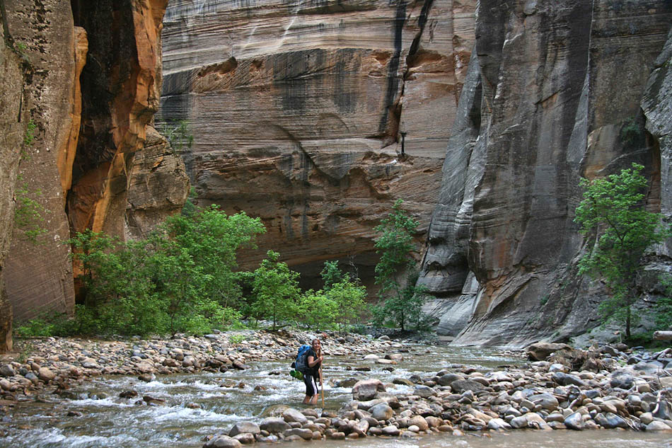
Continuing downcanyon, hikers arrive at the Deep Creek confluence about 45 minutes later. This is a major confluence, and difficult to miss. Deep Creek usually runs clear, and this is a good place to filter water for the journey ahead. Campsite 2 is tucked in the woods nearby. Ten more campsites are carefully sited in the next 2.5 miles from here to Big Springs. Prior to arriving at Deep Creek, the hiking is relatively easy, and hikers can keep a good pace. Below Deep Creek, much of the hiking is in the river, and hikers must pick their way around and through obstacles, so the pace slows considerably – for some, almost to a crawl. Travel times in the Profile Tab are for the average fit hiker; many people will not be able to move this quickly.
The river dominates and the gorge becomes more intense. Short sections of narrows alternate with pocket forests on one or both sides of the river. Pick your way down-canyon, staying on established paths when possible, or wading the edges of the river. 45 minutes below Deep Creek, Kolob Canyon comes in on the right, usually dry. A brief hike up this tributary makes for an interesting side-trip, but the really nice stuff is several hours up Kolob.
From Kolob Canyon, it is about an hour to the next major canyon coming in on the right, Goose Creek. A lovely, sand-floored alcove on the right – The Grotto, campsite #8 – is about halfway through this section, and is one of the nicest campsites.
Of the several options for side-canyon exploration, Goose Creek is the most interesting side trip in the Upper Narrows. It comes in as a narrow, swampy canyon with a small flow, and is easily missed. Hiking upcanyon, the source of flow is found in about 20 minutes, and interesting narrows continue upcanyon a ways. Travel up the canyon is blocked by a 60-foot dryfall after about an hour's walk. The light in the afternoon can be remarkable. Watch out for quicksand. Goose Creek is designated as a Research Natural Area, and even the easily accessible lower section might be restricted in the future.

Big Springs and Wall Street Corridor
A half-hour below Goose Creek, Big Spring bursts out of the wall on the right. There may be poison ivy on either side of the canyon in this area – keep an eye out. Big Spring marks the end of the Upper Narrows, and this is a good place to water up. Just up-stream from Big Springs is a short, pretty slot canyon called Corral Hollow. It makes for a nice, 10-minute side trip.
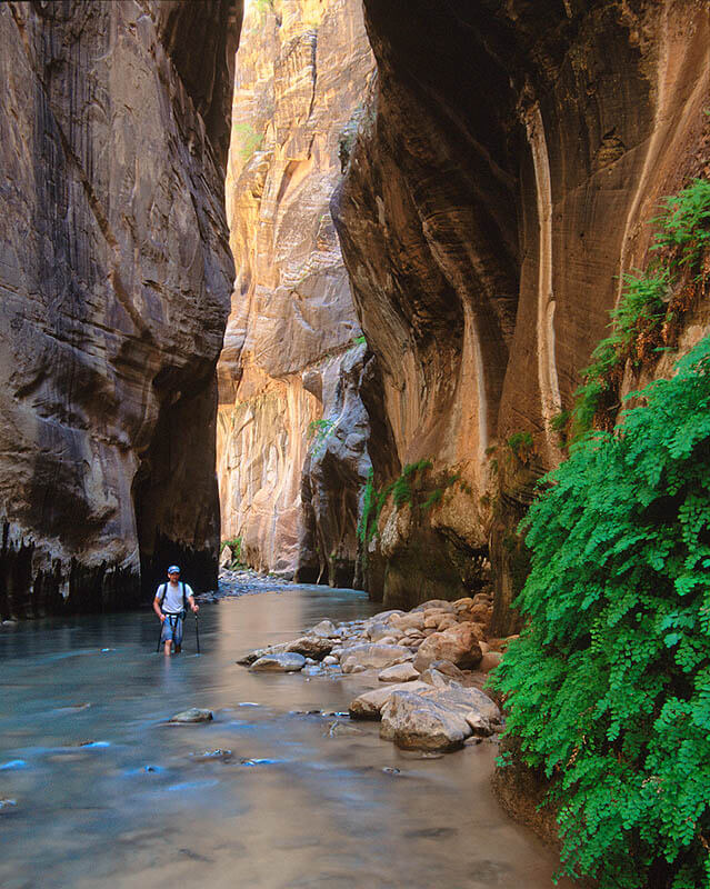
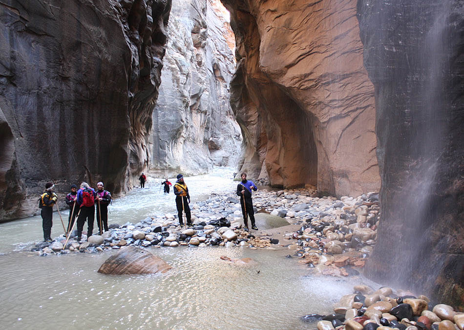
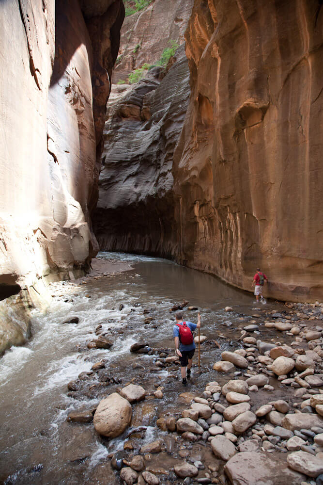
The section of The Narrows below Big Spring is the most spectacular and continuous in the entire canyon, running almost uninterrupted for two miles. All campsites are above Big Spring for good reason – this long section of narrows offers no escape. Overnight hikers enter this section – the most dangerous in flashfloods – in the morning of their second day, when thunderstorms are least likely to strike. One-day through-hikers are not as fortunate; their itinerary usually places them in this narrows section of canyon during prime storm time. Be careful and watch the sky closely.
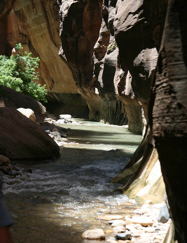
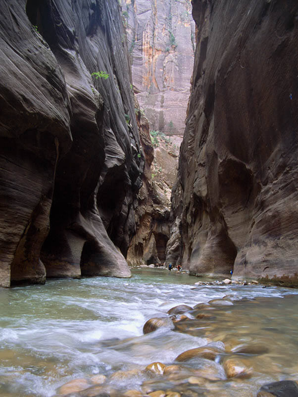
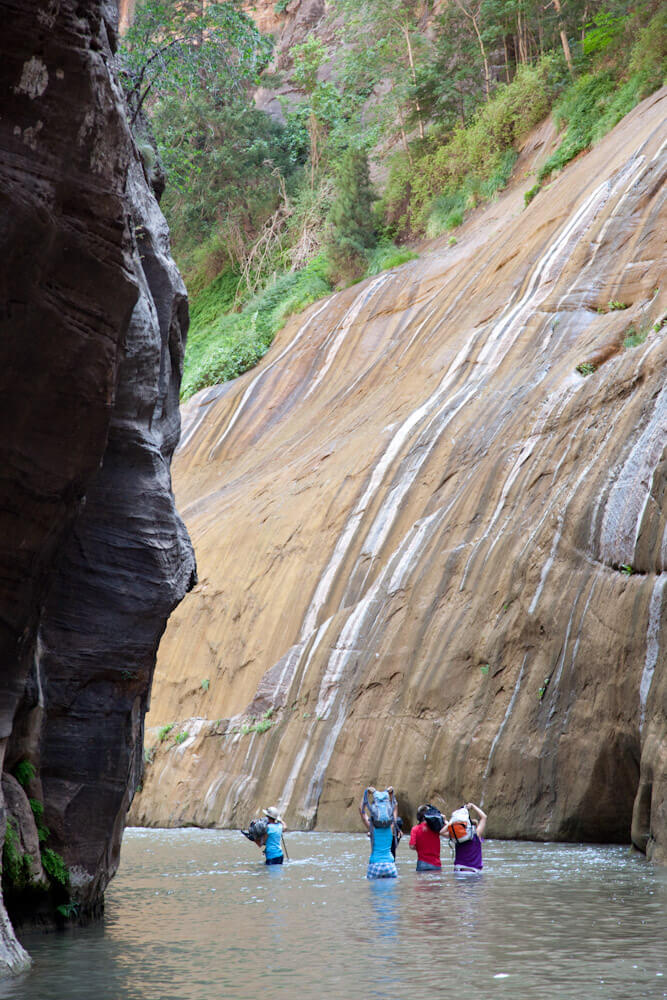
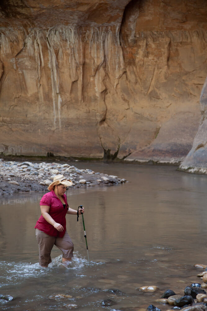
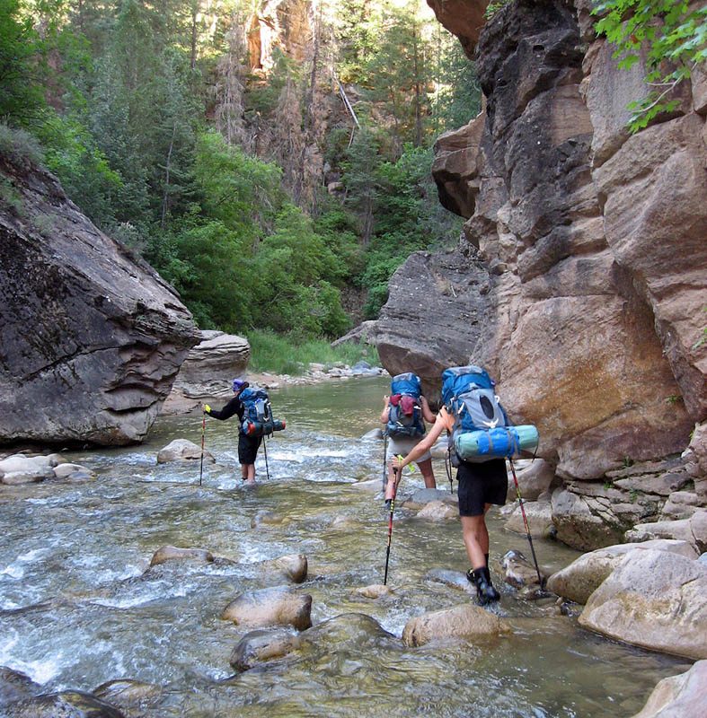
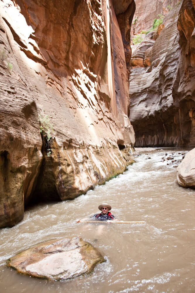
Hiking is mostly in the river from this point onward, between steep, close walls. This dramatic section of wall-to-wall water is known as the Wall Street Corridor. Murky water allows seeing only a few inches into the flow, so ski poles or walking sticks come in real handy. Continuing downcanyon, the intrepid canyoneer starts to meet dayhikers coming up from the Temple of Sinawava. The next landmark is more than two hours downcanyon: Orderville Canyon.
Orderville Canyon

Orderville enters as a spectacular twisting corridor on the left. It often has a stream coming out of it, sometimes muddy, sometimes aromatic. Orderville is a great side-canyon to explore as far as time allows. It offers a couple sunny spots, and respite from the rushing-water sound of the North Fork in The Narrows. Many parties will want to walk a few minutes up Orderville to have lunch.
From Orderville down, the crowds thicken and The Narrows become less continuous. The canyon twists and turns, creating marvelous alcoves. The through-hiker will notice the canyon shows considerable wear and tear, where the heavily-used hiker trails have torn up the fragile desert environment. All the more reason to stay on trails close to the waterline, rather than climbing over the hills and contributing to the erosion.
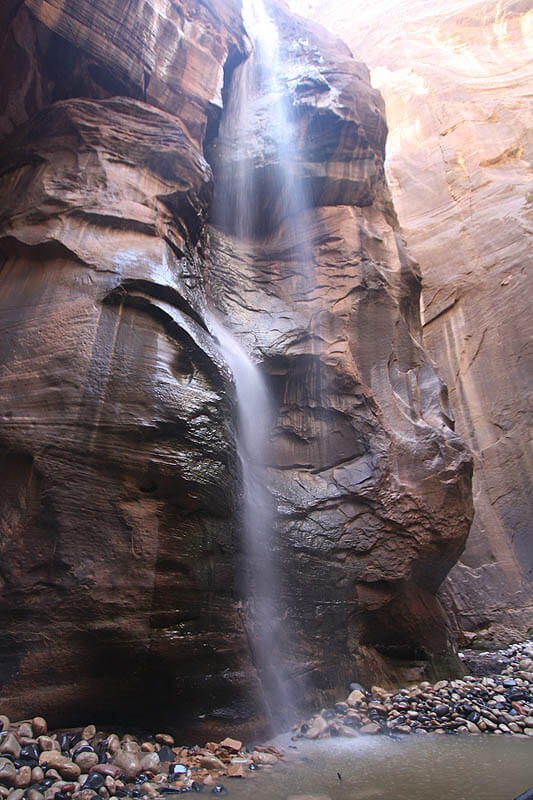
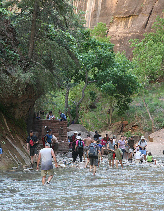
After a few turns of the canyon, a lovely 120 foot (40 meter) waterfall marks the mouth of Mystery Canyon. This is Mystery Falls, the marker indicating the end is near. Another 15 minutes, and a stone veranda appears on the left, along with trappings of civilization such as signs, a pile of hiking sticks and a paved trail. Hike one mile (1.4 km) on the paved trail to the Temple of Sinawava, where bathrooms, benches, trash cans, and the shuttle bus stop live.
Trip Reports


Click for higher resolution.
Maps
Click for higher resolution
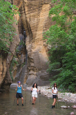
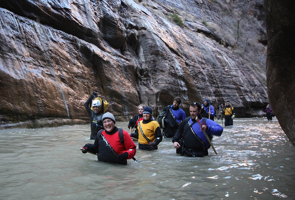
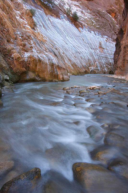
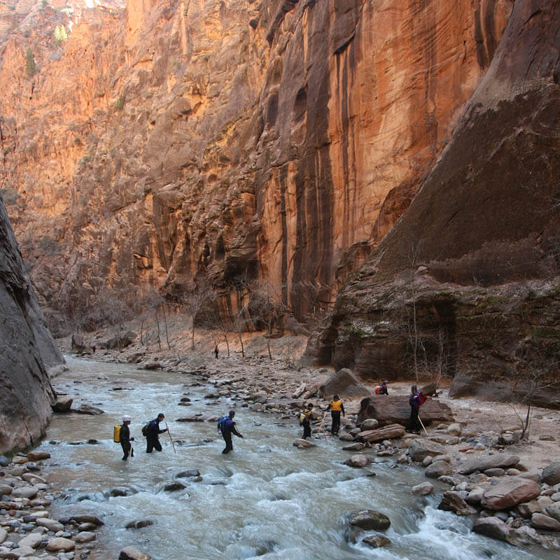
Photo Gallery
The narrows